
Atlas of Living
Spatial practices and urban elements in the geography of Palestine
Explore the platform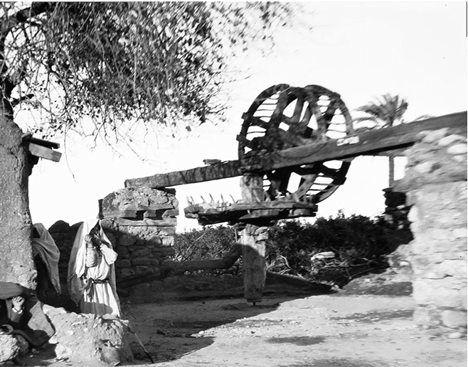
Source: Frank Scholten Collection, Leiden University Library.
Atlas of Living is a learning project made up of a digital platform and a series of training courses on architecture and urbanism in Palestine, and on the ways of living its diverse communities hold across a wide geographical and historical span. The project explores a broad spectrum of architectural and urban relations, practices and elements beyond conventional frameworks of knowledge, and repositions them within the composite and shifting ecological, social, political and technological contexts of Palestine.
Atlas of Living addresses younger generations studying urbanism and related fields in the humanities, seeking to move beyond an understanding of urban life as architectural production alone — a matter of technology, engineering and the art of building. The project aims to be open access and available outside academic spaces as a form of knowledge practice that can expand and accumulate, opening multiple approaches and other ways of researching and practising urbanism in Palestine and around it.
The project includes a series of training courses with university students and recent graduates in related academic disciplines, and in its first phase the digital platform holds a set of around ten urban stories. Experienced researchers and practitioners take part in this production, alongside contributions from young researchers who offered their own reflections on urban experiences and practices through the courses organised by Koor Studio.
Why Atlas of Living?
This learning project begins from a central question: how do we understand ourselves and our communities through understanding our places and our practices within them? The question is a pressing one under the systematic and ongoing spatial erasure in Palestine, where settler colonialism works to obscure the history of places, erase collective memory, and confine Palestinians within spatial models that cannot be lived in or sustained. This erasure appears too in policies of isolation and geographical severance that turn Palestinian space into a permanent state of exception, dissolve the bonds between people and their places, restrict the possibilities of movement and communication, and forcibly separate Palestine from its Arab and Mediterranean surroundings, which have long formed its natural, cultural and historical extension.
Atlas of Living makes it possible to explore urban practices and elements within their multiple historical and social contexts. Palestine's geographical and social diversity has produced rich urban patterns and an accumulated expertise in building, design and the use of materials, alongside entangled social and political relations and representations connecting Palestine to its surroundings and to the world. This journey is an attempt to reclaim a Palestinian collective consciousness of building and of making everyday space, in the face of colonial attempts to erase urban knowledge and cut its continuity across generations, and of the separation of communities from their immediate sources of inspiration and knowledge that has followed.
Methodology
Atlas of Living seeks to restore a living relationship with place by regarding Palestinian urbanism not as a finished product but as a shifting social, political and ecological process. It disassembles composite, accumulated urban form into architectural and urban practices and elements, and turns them into analytical tools for understanding urban dynamics — not only inside Palestine but in its relation to wider spaces — producing new possibilities for reading architecture and urbanism as an interactive product of the local and the global.
Through this process, Atlas of Living weaves a geographical reading that begins from below, by synthesising different practices and elements and situating and framing them within multiple contexts: the everyday spaces found across Palestine — the roof, the living room, the kitchen, the balcony, the threshold, the trellis, the yard around the well and the stairwell — through ecological relations such as that of the dwelling to water and to animals, and through technical knowledge and practices, from reed building in al-Almaniyya and al-Malaha by Lake Hula to popular knowledge of cement in the camps and the villages.
The project adopts a broad conception of what urbanism means, unsettling the conventional boundaries between disciplines. The methodology of the training and of the digital publishing rests on a multi-layered approach that combines creative work with scholarly rigour. The process begins by diving into the archive and drawing on urban and spatial images and documents from Palestine as a rich epistemic and historical medium, then moves beyond the limits of the archive through qualitative research connecting it to wider ecological, social and political contexts. The media and tools used to produce the content are varied: from creative writing, to building a cartography that places the elements under study within multi-layered geographical contexts, and from ethnographic research through interviews and audiovisual field material, to producing audiovisual narratives about spatial and urban practices in Palestine.